

Hai Van Pass is a mountain pass on National Route 1A between Da Nang and Hue, known for its winding road and coastal viewpoints. From a hotel in Da Nang, you can plan a day trip by choosing the scenic pass road rather than the tunnel, then allowing time for stops and the return journey.
- Location: About 20 km north of central Da Nang.
- Pass-road ascent: About 45–60 minutes by motorbike, depending on speed and stops.
- Viewpoints: Turtle Rock looks over Da Nang Bay and the Son Tra Peninsula; roadside stops offer views of Lang Co Bay and Lap An Lagoon.
- Access: The pass road and the tunnel are separate route options; current access details can change.
Where is Hai Van Pass?
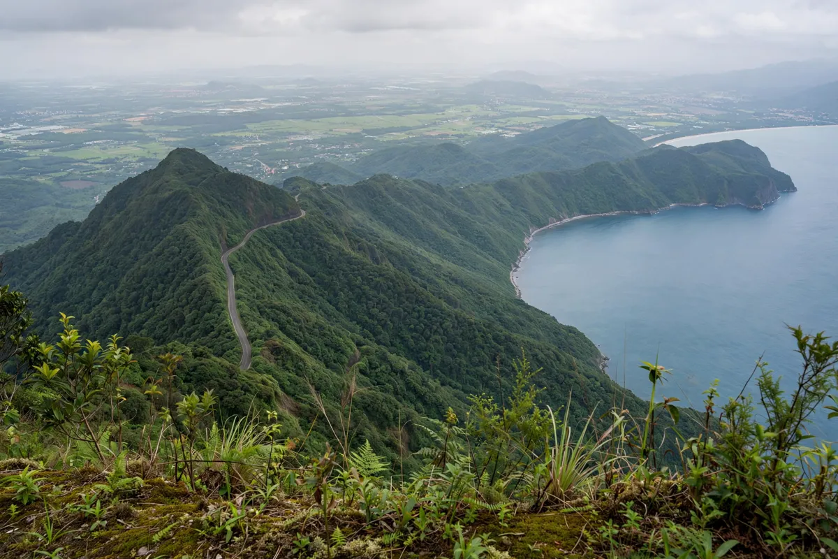
Hai Van Pass lies on National Route 1A between Da Nang and Hue, at the boundary between Da Nang and Thua Thien–Hue. Da Nang’s tourism portal places it about 20 km north of central Da Nang. The pass reaches about 500 m above sea level, where the road climbs through a coastal mountain landscape.
The route offers a different kind of outing from a city visit: the journey itself is part of the experience, with views opening out along the mountainside. If you’re planning other excursions from the city, Ba Na Hills from Da Nang is another trip to compare with your schedule.
How do you get from Da Nang to Hai Van Pass?
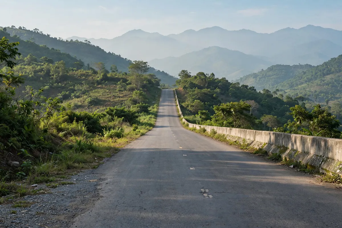
You can take the winding pass road for scenery or use the Hai Van road tunnel to bypass it. The pass road is the choice for viewpoints; through traffic can use the tunnel instead.
Scenic pass road
From central Da Nang, the pass-road route is about 20 km. The tourism portal estimates 45–60 minutes for the ascent by motorbike, depending on speed and stops. National Route 1A is the approach from the city.
Hai Van road tunnel
The tunnel lets through traffic avoid the scenic pass road, but it does not provide access to the pass’s scenery or several well-known sites along the route.
The tunnel opened in 2005, and a second tunnel was added in 2021. Older reports of tunnel operating hours and vehicle charges may not reflect current rules, so confirm access arrangements with the relevant authority before you travel.
Which viewpoints and places can you stop at?

Turtle Rock, known locally as Mỏm đá Cụ Rùa, is a viewpoint on the Da Nang side with views over Da Nang Bay and the Son Tra Peninsula. Roadside cafés and rest stops along the pass also provide places to look out over Lang Co Bay and Lap An Lagoon.
At the summit, Hai Van Quan is a historic gate. Emperor Minh Mang had it built in 1826. Check current entry arrangements before making it a planned stop, as access details and fees can change.
Build in time to stop rather than treating the ascent estimate as the full outing. A Da Nang tourism listing suggests allowing three hours to visit the pass, while the 45–60-minute estimate covers the ascent alone; your total depends on stops and how you arrange the return.
What should you know about road safety and weather?
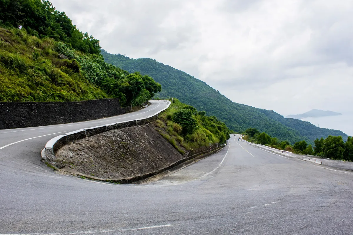
The pass road is steep and winding, so take extra care on sharp bends and in fog. The north side is generally colder and rainier than the south side. The Vietnam National Administration of Tourism recommends slowing down on bends and watching for fog in the early morning or rainy season.
For clearer views, the agency recommends the dry season, from March through August. Conditions still vary, so use the forecast and current local updates to decide whether to travel. For broader seasonal context, Da Nang’s weather and seasons can help you plan the rest of your trip.
The sources do not establish current licensing, rental, insurance or passenger requirements for motorbike travel, or accessibility facilities at Hai Van Quan and the roadside viewpoints. Verify those details with the relevant site or tour operator. Check current local traffic and authority updates for roadworks, restrictions or closures. For time-sensitive access information, check the official site before you go.
How should you plan the return to Da Nang?
Allow for the return journey as well as the climb and any viewpoint stops. The ascent estimate is not a round-trip time, and the overall duration depends on your stops and return arrangements. Decide before setting out whether you’ll retrace the scenic road or use the tunnel for through travel, bearing in mind that the tunnel bypasses the viewpoints.
If weather or visibility changes, adjust your plans rather than pressing on for a particular viewpoint. Conditions can differ between the north and south sides of the pass, and fog can affect the road.
FAQs
How far is Hai Van Pass from central Da Nang?
Da Nang’s tourism portal places the pass about 20 km north of central Da Nang. The pass-road route from the city is also described as about 20 km.
How long does it take to ride up Hai Van Pass?
The estimated ascent by motorbike takes 45–60 minutes, depending on speed and stops. Plan extra time for viewpoints and the return journey.
Can you see the viewpoints from the tunnel?
No. The tunnel bypasses the scenic pass road and does not give access to its scenery or several well-known sites along the pass.
When are views on Hai Van Pass clearest?
The Vietnam National Administration of Tourism recommends the dry season, March through August, for clearer views. Fog can occur in the early morning or rainy season.